
High-Performance 360° Underwater Imaging Sonar for Search, Recovery & ROV Operations
The SCAN-650 Sector Scanning Sonar by JW Fishers is a professional underwater imaging sonar system designed for search and recovery, public safety diving, naval operations, underwater inspection, and remotely operated vehicle (ROV) integration. Engineered to deliver clear underwater imaging regardless of visibility conditions, the SCAN-650 provides operators with a real-time acoustic “picture” of the underwater environment, making it an essential tool for missions where divers, cameras, or conventional visual systems are limited by darkness, turbidity, or depth.
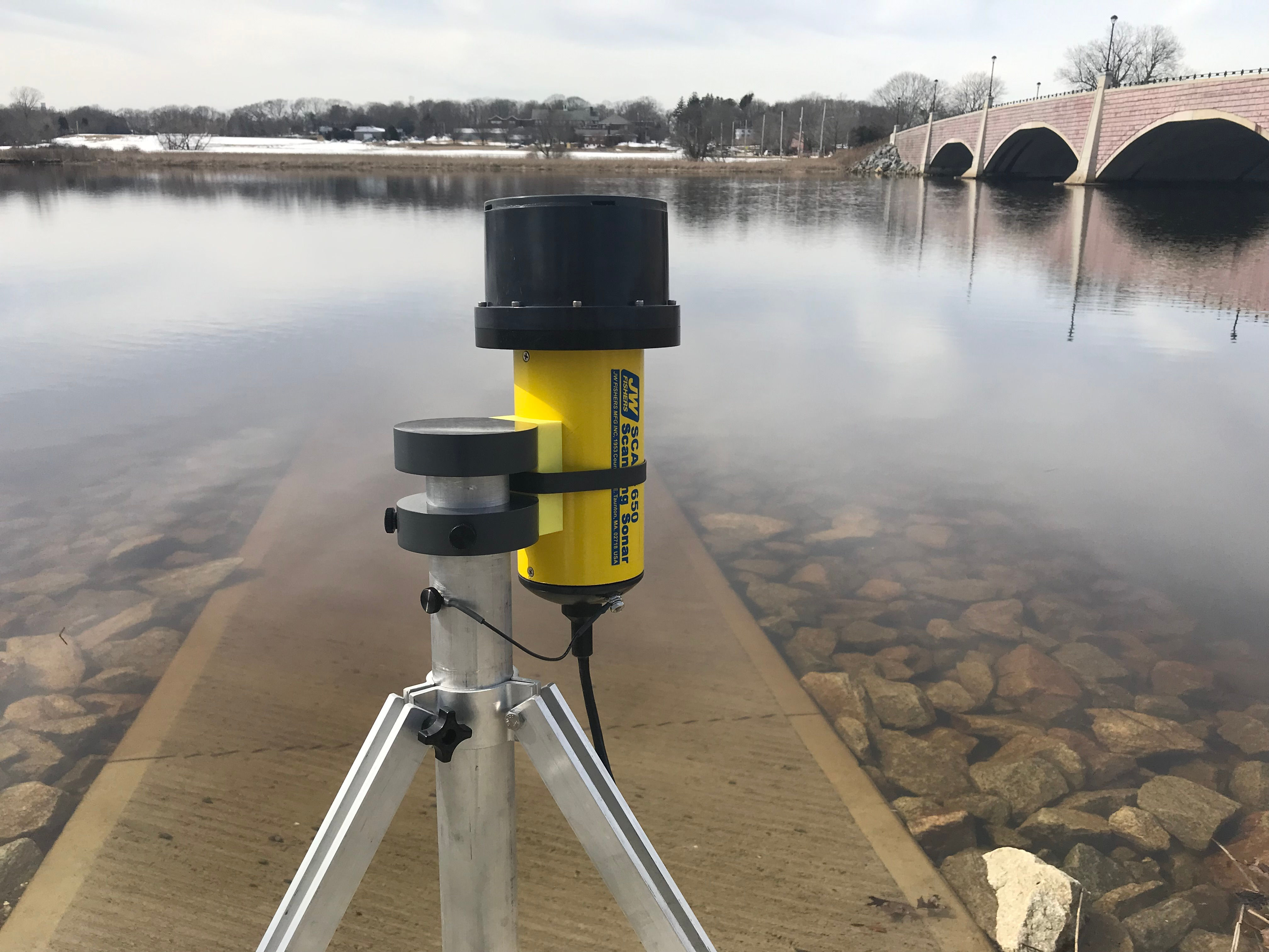
Designed for versatility in the field, the SCAN-650 can be mounted directly onto an ROV, pole-mounted from a small vessel in shallow water, or deployed on a tripod lowered to the seabed for stationary scanning operations. The sonar beam continuously sweeps in a full 360-degree circle — or selected sectors within 360° — enabling operators to identify underwater targets, obstacles, debris, submerged vehicles, drowning victims, structures, or evidence in real time.
The system features high-resolution sector scanning technology with selectable scan step resolutions of 0.5°, 1°, 1.5°, or 2°, allowing operators to balance image detail with scanning speed depending on mission requirements. A proprietary high-speed data transfer system significantly reduces scan completion time by up to 50% compared to conventional scanning sonar systems, improving operational efficiency during large-area underwater searches.
The SCAN-650 serves both as a target identification tool and an obstacle avoidance system for ROV operations. When integrated with an ROV platform, the sonar enables navigation and target acquisition well beyond normal camera visibility range, dramatically improving underwater operational awareness in low-visibility environments. Sonar imagery is displayed live on a topside computer or optional integrated tablet/laptop control station.
All scanned data can be recorded together with GPS position, date, time, and operational metadata for post-mission analysis. The included software suite supports playback, target sizing, editing, image merging, screenshot extraction, and data post-processing, making the system highly effective for forensic investigations, underwater surveys, evidence documentation, and operational reporting.
Built for demanding professional use, the SCAN-650 is widely deployed by military dive teams, law enforcement agencies, fire and rescue departments, commercial marine operators, and underwater survey professionals worldwide.